Maps for Mobile Phones
(Difference between revisions)
m (→Weybridge/UK Example) |
(Added NYC subway map) |
||
| Line 3: | Line 3: | ||
{|align=right | {|align=right | ||
|- | |- | ||
| − | |[[Image:Mobinav.png|thumb|Weybridge/UK example map]]||[[Image: | + | |[[Image:Mobinav.png|thumb|Weybridge/UK example map]]||[[Image:NYCSub.png|180px|thumb|NYC subway map]] |
|- | |- | ||
|[[Image:MapUkPart.png|thumb|Political world map]]||[[Image:Map5.png|thumb|320px|Political world map]] | |[[Image:MapUkPart.png|thumb|Political world map]]||[[Image:Map5.png|thumb|320px|Political world map]] | ||
| Line 26: | Line 26: | ||
* [http://vision.eng.shu.ac.uk/jan/VerkehrsnetzMuenchen.jar VerkehrsnetzMuenchen.jar] (472 kByte) | * [http://vision.eng.shu.ac.uk/jan/VerkehrsnetzMuenchen.jar VerkehrsnetzMuenchen.jar] (472 kByte) | ||
* [http://vision.eng.shu.ac.uk/jan/VerkehrsnetzMuenchen.jad VerkehrsnetzMuenchen.jad] | * [http://vision.eng.shu.ac.uk/jan/VerkehrsnetzMuenchen.jad VerkehrsnetzMuenchen.jad] | ||
| + | |||
| + | ==New York subway map== | ||
| + | This NYC subway map originated from [http://www.nycsubway.org/maps/spui.html www.nycsubway.org] (License: public domain). | ||
| + | * [http://vision.eng.shu.ac.uk/jan/NYCSub.jar NYCSub.jar] (1657 kByte) | ||
| + | * [http://vision.eng.shu.ac.uk/jan/NYCSub.jad NYCSub.jad] | ||
==Sheffield Supertram map== | ==Sheffield Supertram map== | ||
Revision as of 21:17, 8 April 2006
You can download some interactive maps for mobile phones with J2ME/MIDP (Java 2 Micro Edition) as JAR files. If you want to download the file using GPRS you have to use the link to the JAD file instead. Please refer to your mobile-phone's manual on how to install Java programs. E-mail me, if you find a bug in the software.
Contents |
Maps for Mobile Phones
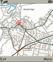
Weybridge/UK Example
The map was taken from openstreetmap.org (License: GFDL).
- MobiNav.jar (191 kByte) Java archive
- MobiNav.jad description file
- MobiNav.tar.gz (176 kByte) source code and map-tiles (license: GPL)
- splitmap.tar.bz2 (1912 bytes) source code of GNU/Linux program for splitting up an input file into map-tiles (requires Mimas-2.0). Note, that you need to provide map-tiles for several resolutions (multiresolution pyramid). Therefore you also need a program for scaling images (you can use the command-line tool convert, which is part of ImageMagick)!
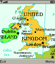
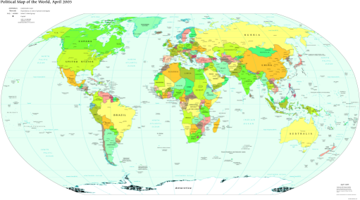
Political world map
The map was taken from the The World Factbook (License: public domain).
- WorldMap.jar (1370 kByte)
- WorldMap.jad
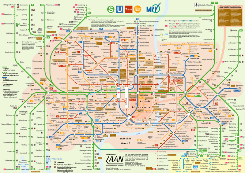
Munich public transportation map
The map was taken from de.wikipedia.org (License: GFDL).
- VerkehrsnetzMuenchen.jar (472 kByte)
- VerkehrsnetzMuenchen.jad
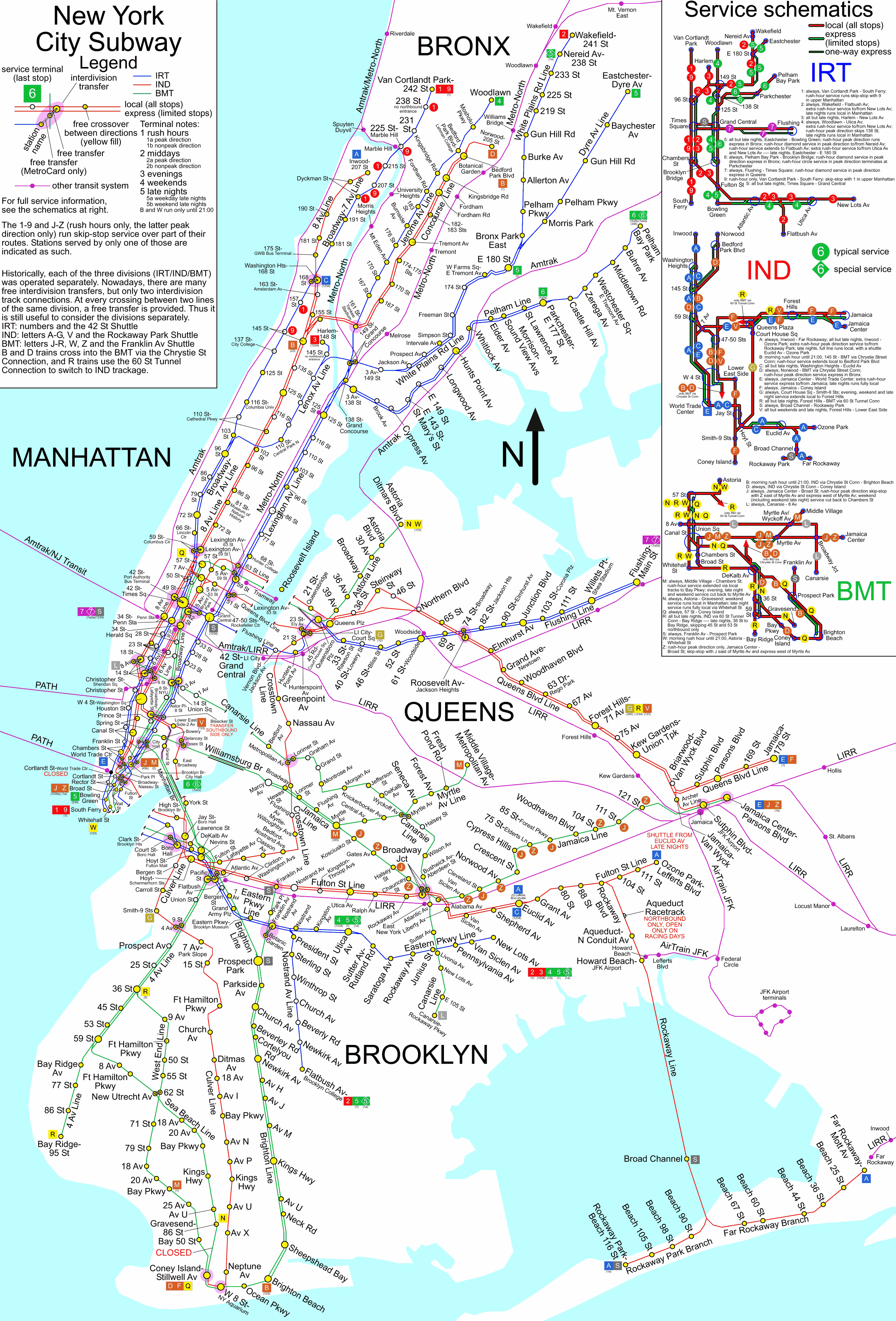
New York subway map
This NYC subway map originated from www.nycsubway.org (License: public domain).
- NYCSub.jar (1657 kByte)
- NYCSub.jad
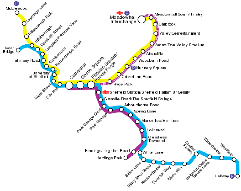
Sheffield Supertram map
The map was taken from en.wikipedia.org (License: Creative Commons Attribution-ShareAlike 2.0 Canada)
- Supertram.jar (67 kByte)
- Supertram.jad
External Links
- Maps for mobile phones at www.wedesoft.demon.co.uk
- J2ME SDK
- Free streetmaps for mobile phones
- Download subway maps for iPods
- Openmap software
- German motorways (copyrighted)
- Mobile phone applications at getjar.com
- Compare mobile phones at gsmarena.com
