File:Map5.png
(Difference between revisions)
(Political map generated from [http://www.cia.gov/cia/publications/factbook/ The World Factbook 2005] (public domain).) |
m |
||
| Line 1: | Line 1: | ||
Political map generated from [http://www.cia.gov/cia/publications/factbook/ The World Factbook 2005] (public domain). | Political map generated from [http://www.cia.gov/cia/publications/factbook/ The World Factbook 2005] (public domain). | ||
| + | |||
| + | {{CP-PD-USGov}} | ||
Revision as of 17:27, 3 April 2006
Political map generated from The World Factbook 2005 (public domain).
| |
This work is in the public domain because it is a work of the United States federal Government. This applies worldwide. |
File history
Click on a date/time to view the file as it appeared at that time.
| Date/Time | Thumbnail | Dimensions | User | Comment | |
|---|---|---|---|---|---|
| current | 21:27, 30 March 2006 | 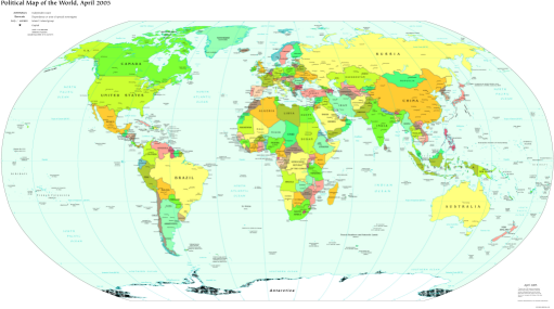 | 511 × 285 (117 KB) | Engjw (Talk | contribs) | (Political map generated from [http://www.cia.gov/cia/publications/factbook/ The World Factbook 2005] (public domain).) |
File usage
The following page links to this file: