Maps for Mobile Phones
(Difference between revisions)
m |
m (→Political world map) |
||
| Line 18: | Line 18: | ||
==Political world map== | ==Political world map== | ||
| − | The map was taken from the [http://www.cia.gov/cia/publications/factbook/ The World Factbook] (License: public domain). | + | The map was taken from the [http://www.cia.gov/cia/publications/factbook/ The World Factbook] (License: public domain). Sorry, the link was broken today! |
* [http://vision.eng.shu.ac.uk/jan/WorldMap.jar WorldMap.jar] (1370 kByte) | * [http://vision.eng.shu.ac.uk/jan/WorldMap.jar WorldMap.jar] (1370 kByte) | ||
* [http://vision.eng.shu.ac.uk/jan/WorldMap.jad WorldMap.jad] | * [http://vision.eng.shu.ac.uk/jan/WorldMap.jad WorldMap.jad] | ||
Revision as of 20:10, 3 April 2006
You can download some interactive maps for mobile phones with J2ME/MIDP (Java 2 Micro Edition).
Contents |
Maps for Mobile Phones
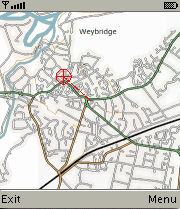
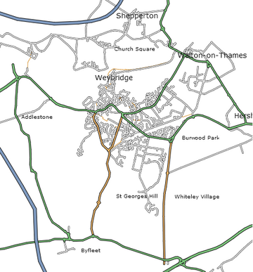
Weybridge/UK Example
The map was taken from openstreetmap.org (License: GFDL).
- MobiNav.jar (191 kByte) Java archive
- MobiNav.jad description file
- MobiNav.tar.gz (176 kByte) source code and map-tiles (license: GPL)
- splitmap.tar.bz2 (1912 bytes) source code of program for splitting up an input file into map-tiles (requires Mimas-2.0)
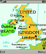
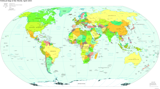
Political world map
The map was taken from the The World Factbook (License: public domain). Sorry, the link was broken today!
- WorldMap.jar (1370 kByte)
- WorldMap.jad
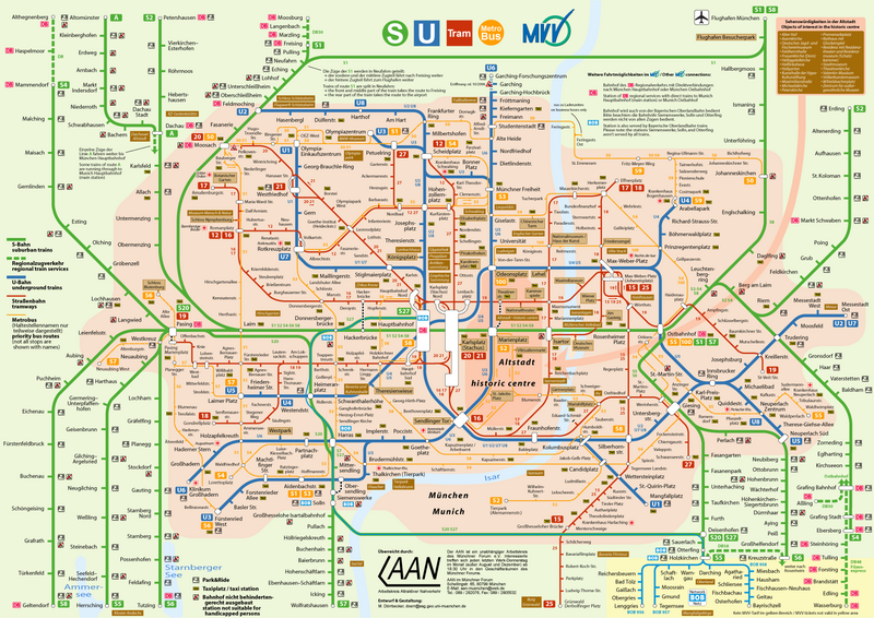
Munich public transportation map
The map was taken from de.wikipedia.org (License: GFDL).
- VerkehrsnetzMuenchen.jar (472 kByte)
- VerkehrsnetzMuenchen.jad
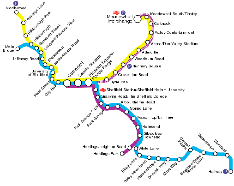
Sheffield Supertram map
The map was taken from en.wikipedia.org (License: Creative Commons Attribution-ShareAlike 2.0 Canada)
- Supertram.jar (67 kByte)
- Supertram.jad
