File:Weybridge2.png
From MMVLWiki
Size of this preview: 780 × 600 pixels. Other resolutions: 312 × 240 pixels | 624 × 480 pixels | 999 × 768 pixels | 1,280 × 985 pixels.
Full resolution (3,328 × 2,560 pixels, file size: 908 KB, MIME type: image/png)
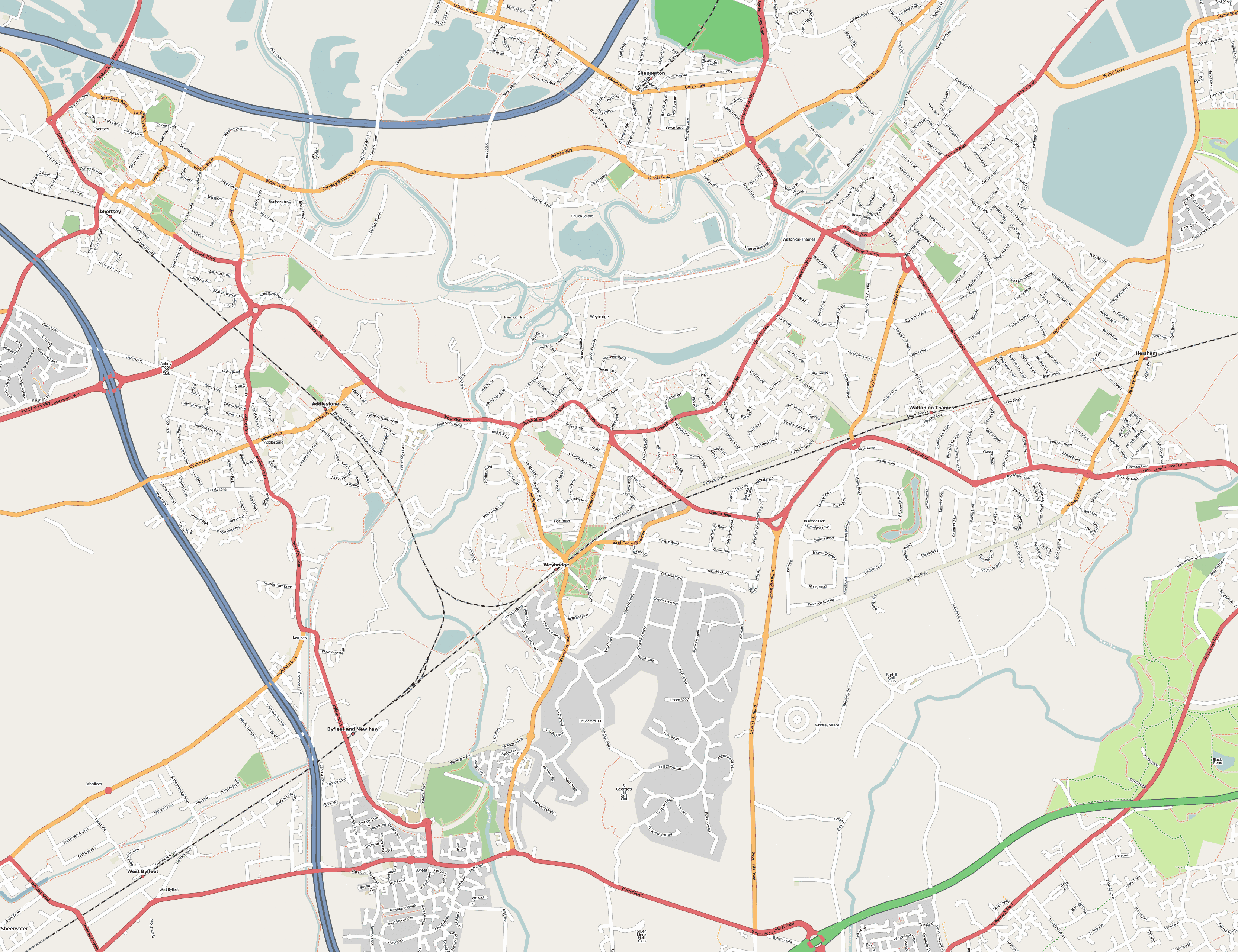
Weybridge streetmap created by the OpenStreetMap project. Also see dedicated OpenStreetMap page for Weybridge.
| |
This image is licensed under the Creative Commons Attribution ShareAlike License v. 2.0: http://creativecommons.org/licenses/by-sa/2.0/ |
File history
Click on a date/time to view the file as it appeared at that time.
| Date/Time | Thumbnail | Dimensions | User | Comment | |
|---|---|---|---|---|---|
| current | 23:35, 24 March 2007 | | 3,328 × 2,560 (908 KB) | Engjw (Talk | contribs) | (Weybridge streetmap created by the [http://www.openstreetmap.org/ OpenStreetMap project]. Also see [http://wiki.openstreetmap.org/index.php/KT13_Weybridge dedicated OpenStreetMap page for Weybridge]. {{CP-Cc-by-sa-2.0}}) |
File usage
The following 2 pages link to this file: